 Today we’d like to introduce you to Rudy Neira.
Hi Rudy, we’d love for you to start by introducing yourself.
NatureTrailMaps.net is a website inspired by guest speakers at meetings at Regional Clean Air and Water Association. A particular guest speaker, who spoke on the problems of exponential population growth, inspired me to develop NatureTrailMaps.net. The guest speaker predicted shortages, pollution, and traffic congestion.
In 2014 I designed and started coding NatureTrailMaps.net, a website for facilitating walking and biking along the Howard Peak Greenway Trail System in San Antonio.
After the floods of 2008, the City of San Antonio purchased flooded land along many San Antonio creek ways. The City started to develop the Howard Peak Greenway Trail System. At about the same time, the San Antonio River Authority expanded the nature trails along the San Antonio River. The San Antonio River trails now extend from the Blue Hole Spring at Incarnate Word University to Mission Espada in South San Antonio. The Howard Peak Greenway Trail System almost makes a loop around San Antonio, and is about the size of Loop 410. Combined, the Greenway trails and the San Antonio River trails consist of about 200 miles of nature trails.
In about 2018 I decided to shift my website focus from the Howard Peak Greenway Trail System to the San Antonio River Trail System. I noticed that the VIA City bus system had bus routes near the San Antonio river trails from Incarnate Work University all the way to Mission Espada. I enhanced NatureTrailMap.net. Touching or clicking City bus stop icons near the river trails provides information on the next arriving City bus. Tourists do not need to rent a car. NatureTrailMaps.net facilitates the use of City buses to visit the Spanish Missions, Restaurants, and many attractions.
We all face challenges, but looking back would you describe it as a relatively smooth road?
Obstacles/Challenges The road for coding and establishing NatureTrailMaps.net has been surprisingly easy. During my career working with IBM Corporation, I learned to choose tools with growth potential. I learned that increase in coding and data caused a significantly higher cost of computer equipment. I learned that raster data formats such as PDF, JPEG, PNG and others required significant storage and were significantly slower. I learned that expanding the size of raster graphics, on computer screens, significantly distorted the graphics.
In 2014, I learned of a new coding language and data format, designed to be very fast. It is called SVG (Scalable Vector Graphics). The WWW Consortium developed SVG. It developed the WWW Internet.
At first, the Internet browsers were not compatible with SVG. At first, HTML lacked many programming features needed for the Internet. To fill the void, many software organizations adapted programming languages for the Internet. The programming languages include the following: PHP, ASP.NET, JAVASCRIPT, CSS, XML, JAVA, PYTHON, ACTIONSCRIPT, RUBY, SQL, AJAX, ARS, and others.
Today, SVG is becoming a leader in mapping and graphics.
Can you tell our readers more about what you do and what you think sets you apart from others?
As an employee of IBM Corporation, I helped set up hundreds of computer applications. I helped design computer applications for ease of coding and for growth. At the time storage was very costly and size of data and coding had to be limited.
Pricing:
- NatureTrailMaps.net is free.
- SVG coding, tutoring, and consulting is available for a fee. Send a text to Rudy Neira at 713 894-4267 or an email to RudyNeira@Grandecom.net.
Contact Info:
- Website: NatureTrailMaps.net
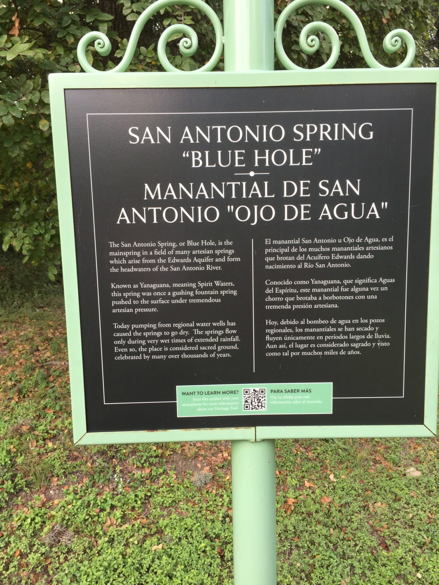
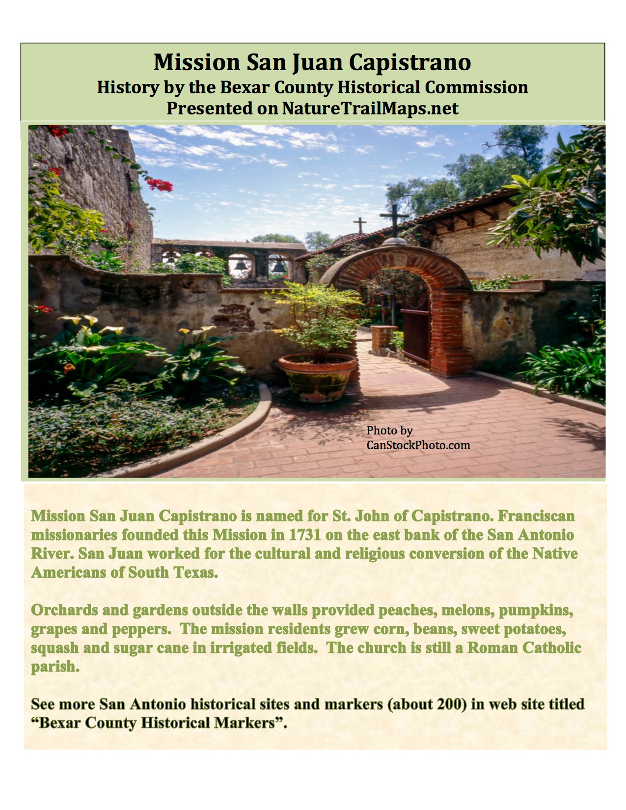
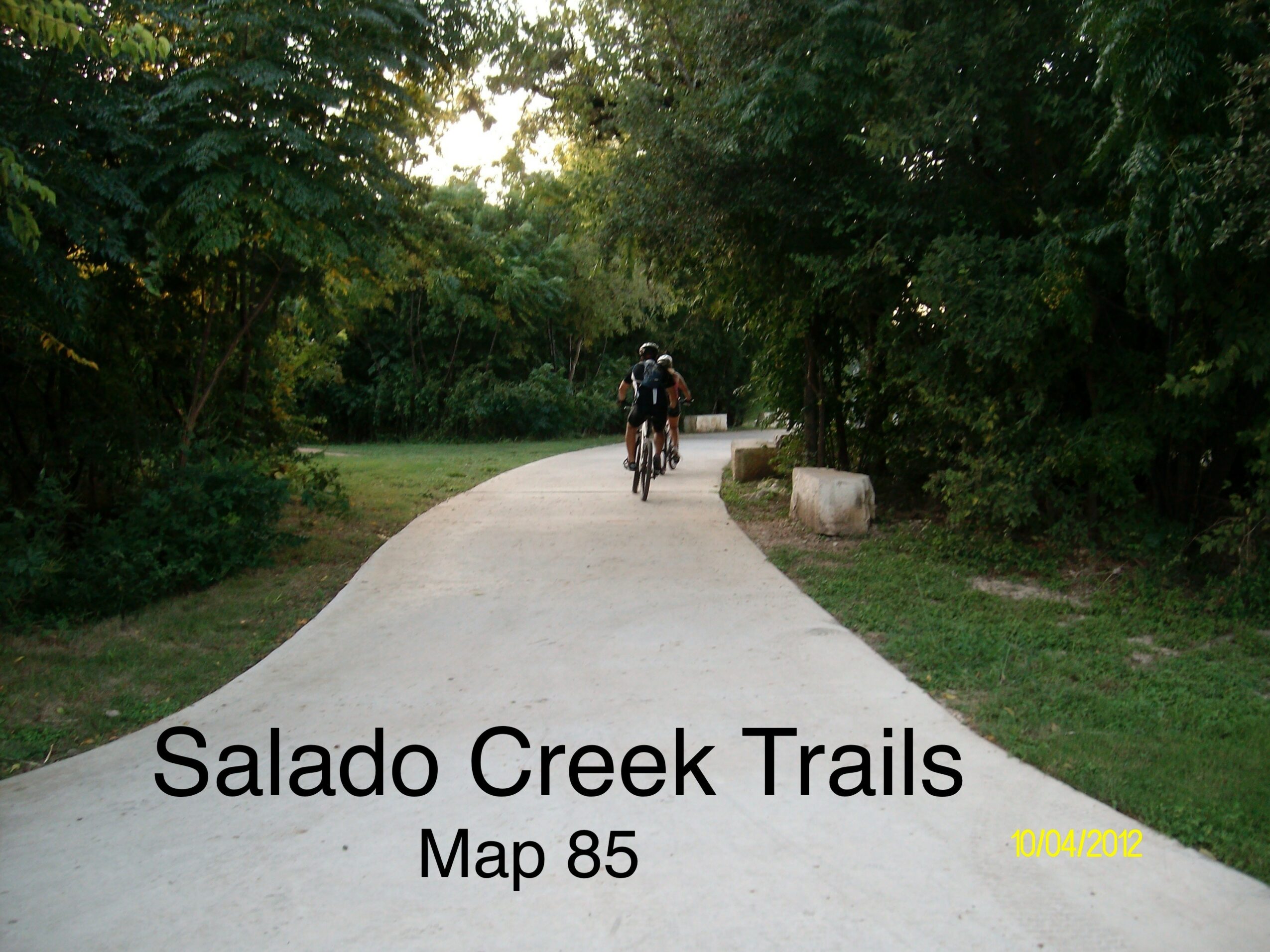
Image Credits
Rudy Neira


